LCVerified
Levada do Castelejo
Machico, Madeira(Machico)
Info updated 113 days ago
Status
Open
Distance
11.84 km
Duration
4h30
Difficulty
ModerateType
Out and Back
Classification
PL
Official code
LC
GPX track
Unavailable
About the trail
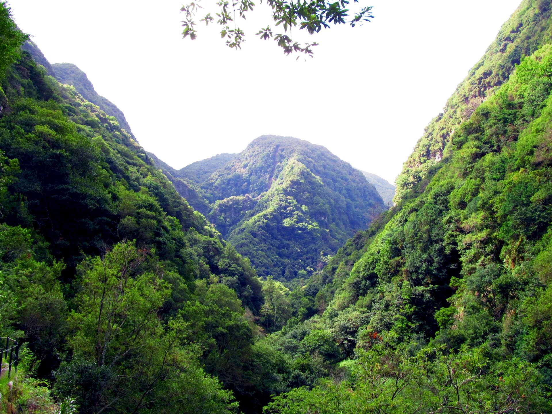
The Levada do Castelejo is the ideal trail to appreciate two distinct but complementary landscapes in a single route: agricultural landscapes and Laurisilva Forest.
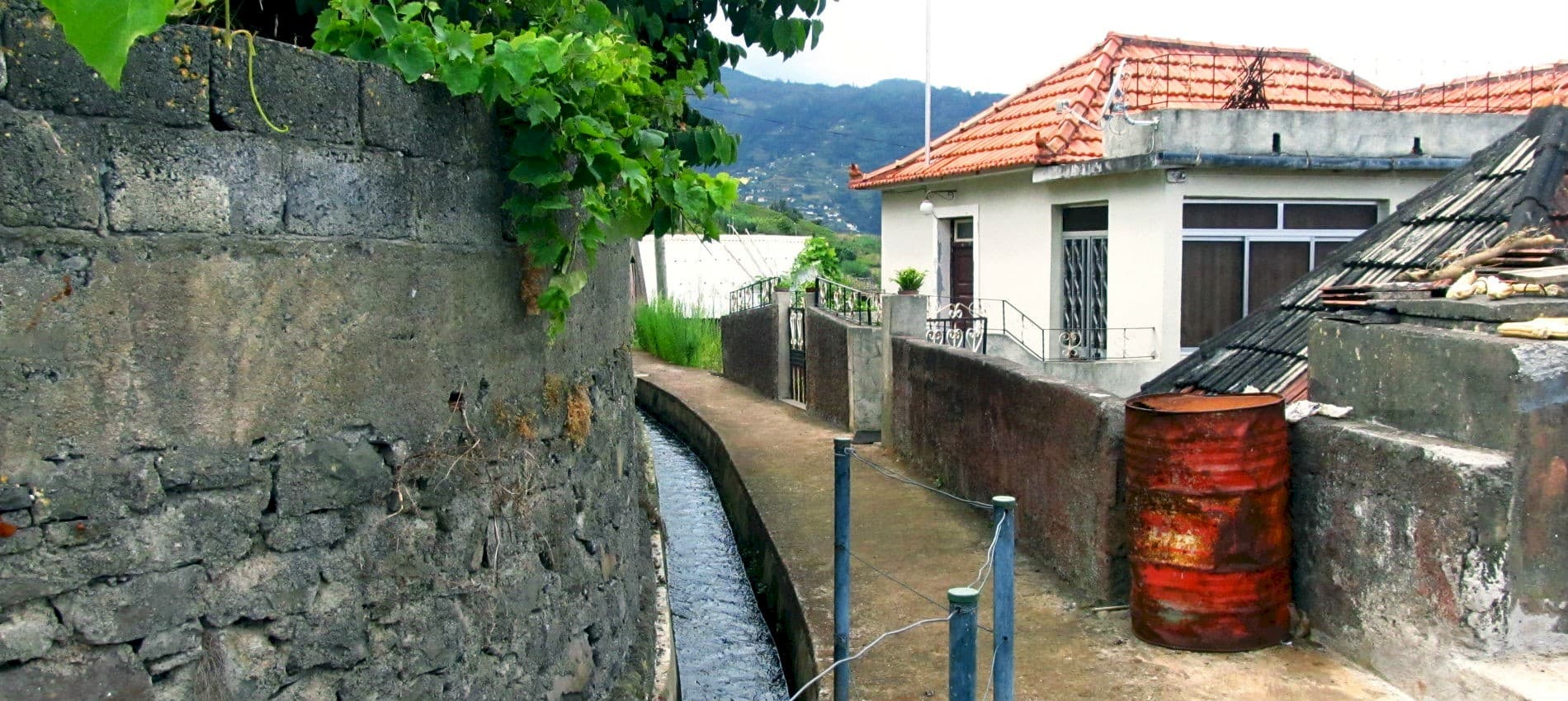
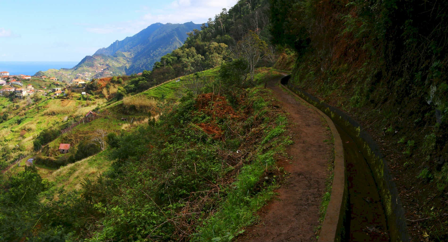
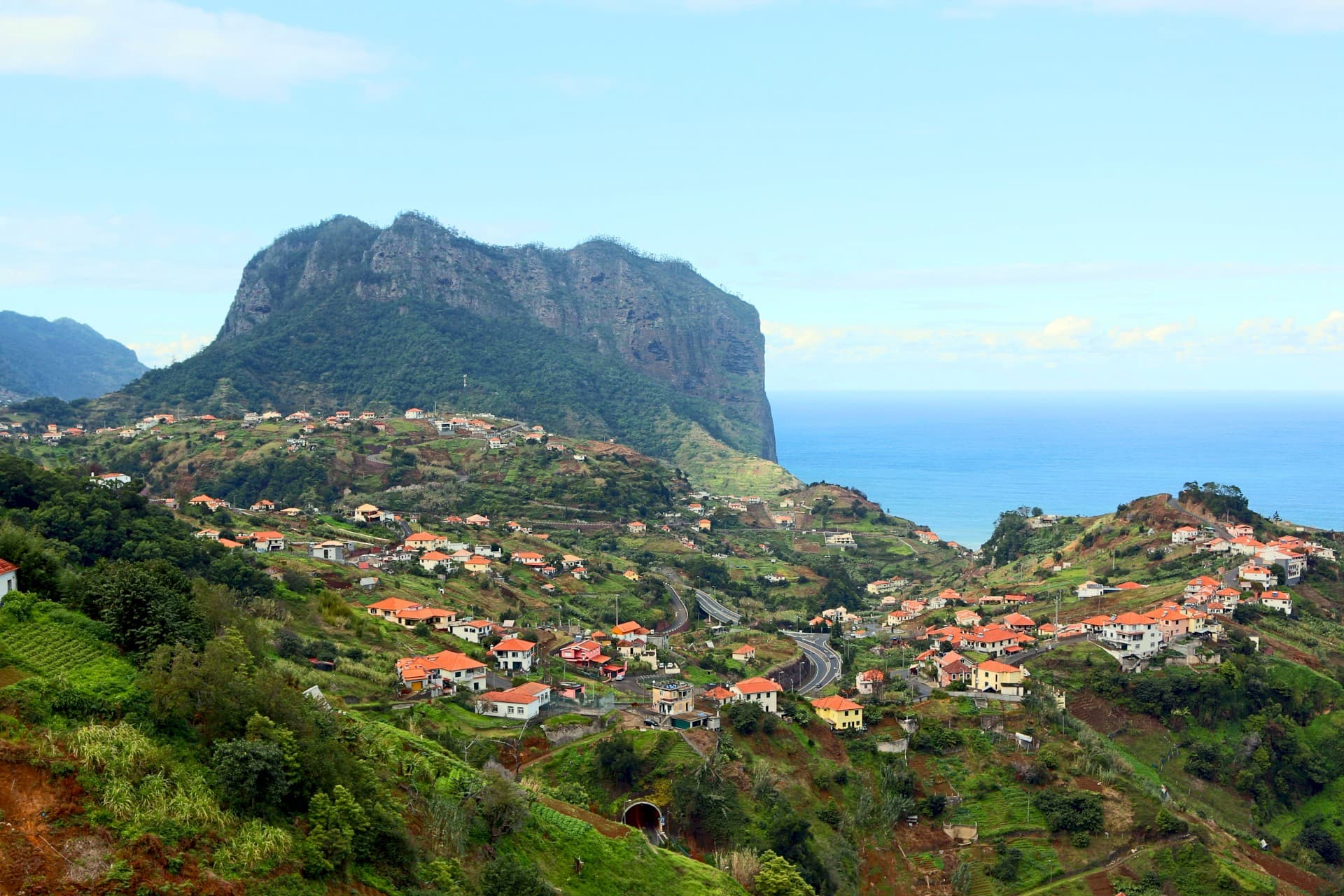
The Levada do Castelejo is a trail that provides a broad view of the agricultural panorama of Machico municipality, in a harmonious environment between the art of good walking and connection with nature.
Agricultural fields are a constant feature throughout almost the entire route, making it possible to appreciate the main local crops, with a strong predominance of horticultural and fruit crops of each season. As we walk inland, the climate becomes more humid and the first Laurisilva species begin to appear, with the largest patch found at the end of the levada.
This forest is easily recognized by the presence of large trees that can reach over 10 meters in height, with the main species being: Laurel (Laurus novocanariensis); Vinhatico (Persea indica); Til (Ocotea foetens); Barbusano (Apollonias barbujana).
The water course of Levada do Castelejo is normally active and runs the entire length from Ribeiro Frio to Porto da Cruz, supplying the agricultural fields and primary sector of Machico municipality.
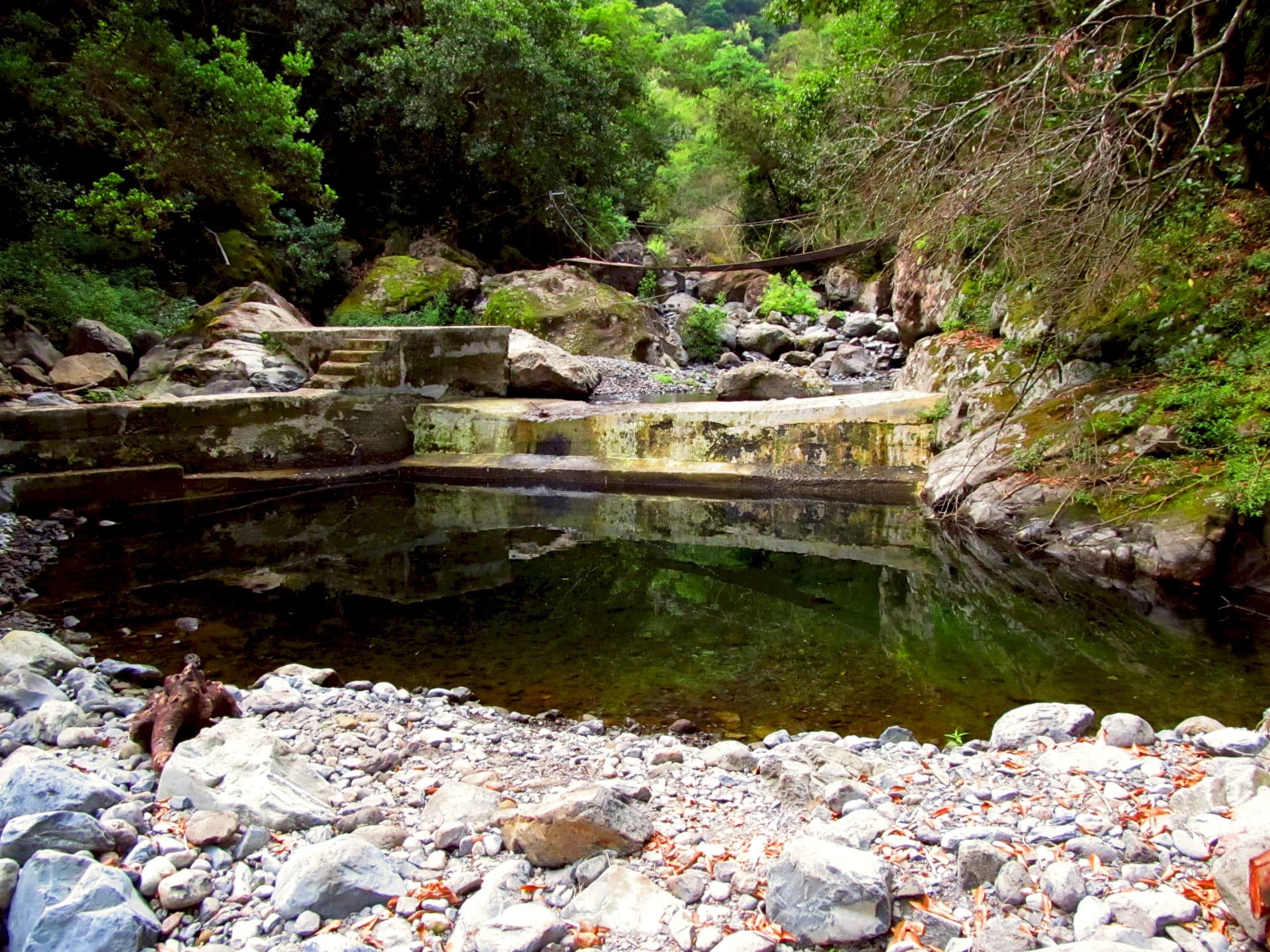
Throughout the entire route, the water course accompanies the walk, functioning as an orientation guide. At the end of the trail, there is a small waterfall resulting from the stream waters where you can perceive the water origin of Levada do Castelejo.
The return is made by the same path, in the opposite direction, allowing you to appreciate all the details that were missed during the first passage.
Surface
Terra batida
Permitted activities
✓Hiking
✓Caminhada
Code of Conduct
- - Plan your route: Before walking, study in detail the weather conditions forecast for the day of your hike and ensure you have all the necessary equipment for the specific requirements of the route. Proper footwear, walking poles and appropriate clothing are essential.
- -Analyze the technical sheet that VisitMachico has prepared for you and ensure that the route you have chosen is suitable for your physical capacity.
- -As much as possible, do not walk alone. If you intend to do a trail, preferably do so accompanied. On more demanding routes you should be accompanied by a guide or by someone with experience.
- -Pay attention to the time needed to complete the routes. Do not let it get dark, as navigation conditions may be limited.
- -Do not venture beyond the indicated route and follow the recommendations mentioned for each trail. Download the GPS track of the route.
- -Always inform someone about your plans. We recommend that you inform the reception of your accommodation or your family members of your planned route. Take with you the emergency numbers we provide.
- If your walk is at high altitude, be aware of fog that may suddenly appear. Always bring warm clothing even if the weather is favorable. Be aware that microclimates are more frequent as altitude increases.
- -It is common to lose mobile network signal, especially in narrow valleys. Make absolutely sure you inform someone about the route you are going to take. Do not neglect this situation.
- -It is common to encounter slippery surfaces on routes at higher altitudes or in the narrower mountain valleys. Cross with caution and do not be tempted to run in these areas. Avoid stepping on metal grates, which are common on levada routes.
- -Be mindful of whether you are carrying sufficient energy foods and liquids necessary to meet the physical demands of the route.
Useful Contacts
SOS
112Centro de Saúde de Machico
291 969 130Esquadra da PSP de Machico
291 110 280Bombeiros Municipais de Machico
291 965 183Trail information
- Official code
- LC
Sources & Official Information

Plan your trip with Travelook
Same accountExplore the region — Machico, Madeira